

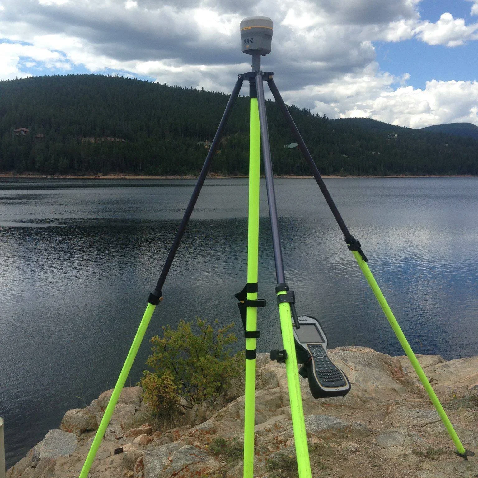
SURVEYING THROUGHOUT FLORIDA
LIDAR data collection
Boundary Surveys
Fenceline Surveys
Topographic Surveys
ALTA Surveys
Land Development Projects
Utility Surveys
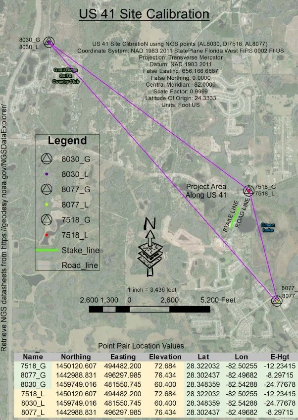
Corridor Surveys
GIS Asset Management
Site Inspections and Monitoring
3D Modeling and Terrain Analysis
Custom solutions to your data collection needs
Environmental data collection needs
Construction Surveying

Aerial Mapping Solutions LLC
Aerial Mapping Solutions LLC is a land surveying company based in Titusville, Florida. We specialize in utilizing drones for mapping, surveying, and environmental monitoring projects across diverse industries including construction, agriculture, real estate, and environmental management. Our team consists of experienced surveyors, drone pilots, and technicians who are committed to delivering exceptional results for our clients.
CONTACT US
Please fill out some information and we will be in touch shortly to discuss your project.